Close-range digital photogrammetry in an archaeological context
Summary
This document serves as a guide to good practice for the documentation and archival of close-range photogrammetry (CRP) datasets and the additional derived products produced by digital photogrammetry in cultural heritage applications. This guide aims to build upon existing documentation standards and specifies basic elements of a CRP survey considered important to possible future users of the data.
The guide is organized around the typical steps for a CRP project and the metadata that can be applied to those specific steps (see Figure 1 at the bottom of Data collection and documentation: typical steps for a CRP project). Each time a step is taken, the surveyor should aim to create the necessary metadata for that given step. In most cases, the metadata includes what is defined by this guide as the minimum necessary documentation. References are given for more information about the standards for methods and documentation at each step.
Finally, the guide touches upon preparing the data for archiving (including the bare minimum for any CRP survey, how to stay organized with the naming of files, and what file formats should be used and avoided), and gives an example for what the final files should look like with a case study.
What is close-range digital photogrammetry?
Digital photogrammetry falls under the broader category of Geomatics, and, according to the American Society for Photogrammetry and Remote Sensing, is defined as, “the art, science and technology of obtaining reliable information about physical objects and the environment through the process of recording, measuring and interpreting photographic images and patterns of electromagnetic radiant imagery and other phenomena” (Salma, 1980). A simplified definition could be the extraction of three-dimensional measurements from two-dimensional data (i.e. images). Close-range photogrammetry refers to the collection of photography from a lesser distance than traditional aerial (or orbital) photogrammetry. ‘Digital’ is also an important piece of the name, as this implies the modern digital techniques discussed in this guide.
While photography alone is a useful medium for the general documentation process, for researchers desiring to extract accurate geometric measurements from any imagery the photogrammetric process is a required step on the path to confronting the inevitable systematic and non-systematic errors introduced when an image is captured or made digital.
Cultural heritage applications of CRP
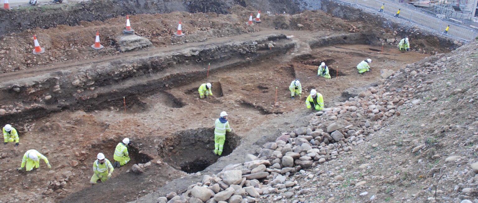
Applications of close-range photogrammetry in the realm of cultural heritage are extensive, and are rarely limited by the size, or scale, of a given object. Relatively small objects include pottery, osteological or lithic pieces and, at the other end of the spectrum, historic buildings or archaeologically significant structures. Some of the largest applications for close-range photogrammetry include entire archaeological excavations, mounds or tel sites.